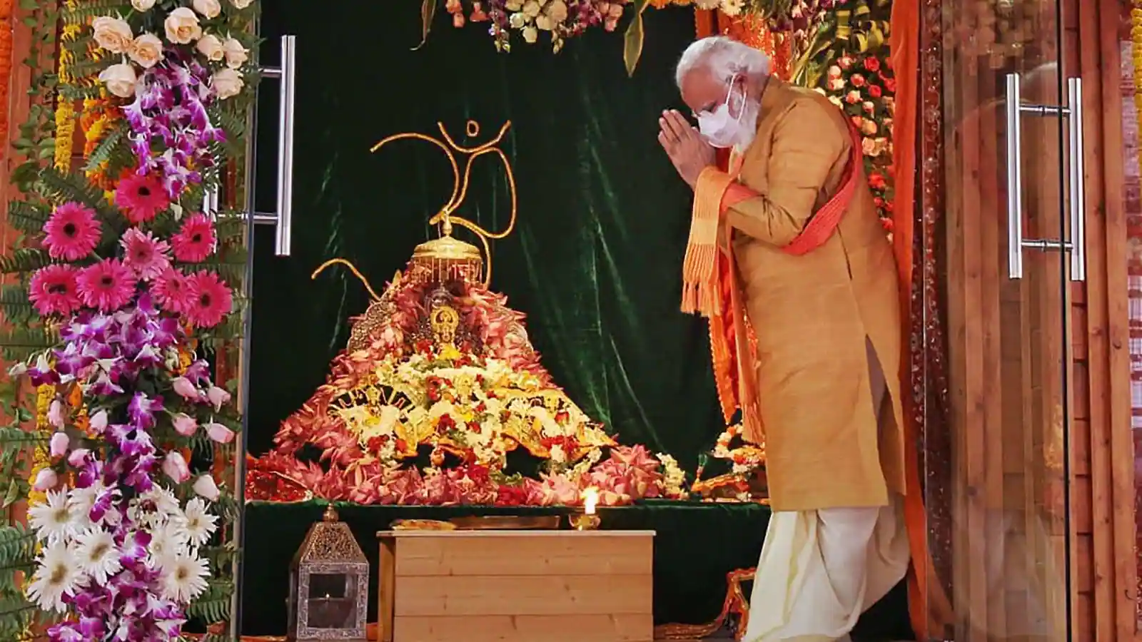
OdishaWeather and Environment

Cyclone ‘Mocha’ On May 9; System Unlikely To Affect Odisha: IMD DG Mrutyunjay Mohapatra

Bhubaneswar: The Bay of Bengal is likely to host a cyclonic storm on May 9. However, the forecasted system may not affect Odisha, said IMD Director General (DG) Mrutyunjay Mohapatra today.

“As of now, there is no forecast regarding its landfall over India coast. The system is unlikely to affect Odisha,” said Mohapatra.

This cyclonic storm is likely to form over the Bay of Bengal around May 9. Major weather models indicate that the system may intensify into a severe cyclonic storm, as per the Tropical Weather Outlook issued by the India Meteorological Department (IMD) today.

Meanwhile, the weathermen forecast light to moderate rain/thundershower very likely to occur at isolated places in several districts of Odisha during next five days.

IMD GFS model is indicating a Low Pressure Area (LPA) over southeast Bay of Bengal (BoB) on 7th May, intensifying into a severe cyclonic storm on 9th May over southeast Bay of Bengal and moving nearly north-northeastwards towards east central BoB till 12th May, the outlook said.

GEFS model is indicating an LPA over southeast BoB on 7th May and depression on 8th may, with further intensification into cyclonic storm on 9th May and severe cyclonic storm on 10th May, it said.

NCUM model is indicating development of an LPA over southeast BoB around 9th May with gradual northwestwards movement and intensification into depression on 10th May, cyclonic storm on 11th May and severe cyclonic storm on 12th May, the the Tropical Weather Outlook mentioned.

ECMWF model is indicating an LPA over southeast BoB around 7th May, depression over southeast BoB and adjoining south Andaman Sea around 9th May with gradual north-northeastwards movement and intensification into cyclonic storm around 10th May, the outlook added.

All models are unanimously indicating nearly northwards movement, said IMD.

The system will be named as cyclone ‘Mocha’ if it intensifies into a cyclonic storm.

Thereafter, there is a good possibility of its intensification while moving nearly northwards towards central Bay of Bengal, said IMD. Details of its path and intensification will be available after formation of low pressure area. The system is under watch and is being monitored regularly.

Related Articles

Leave a Reply

Your email address will not be published. Required fields are marked *

Back to top button