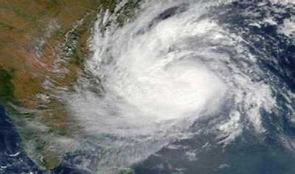
Depression over westcentral Bay of Bengal likely to intensify into a ‘deep depression’

Bhubaneswar, Oct 22 : The Depression formed over westcentral Bay of Bengal on Sunday moved west-northwestwards with a speed of 6 kmph during the past 6 hours and lay centered at about 590 km south of Paradip (Odisha), 740 km south of Digha (West Bengal), and 880 km south-southwest of Khepupara (Bangladesh).
IMD sources here said It is likely to further intensify into a ‘deep depression’ and likely to move northwestwards during the next 12 hours.
The deep depression then recurve and move north-northeastwards during the subsequent 3 days towards Bangladesh and adjoining West Bengal coasts.
Squally wind speed reaching 40-50 kmph gusting to 60 kmph is likely over North Bay of Bengal off Odisha Coast on Monday and it is likely to increase gradually becoming Gale wind speed reaching 60-70 kmph gusting to 80 kmph from October 24 to 26 over north Bay of Bengal & squally wind speed 50-60 kmph gusting to 70 kmph is very likely along and off Odisha coast.
Sea condition will be rough to very rough over westcentral Bay of Bengal till October 25 and it will be rough on October 23 becoming very rough to high from October 24 to 26 over North Bay of Bengal, along & off Odisha coast.
Fishermen are advised not to venture into Westcentral Bay of Bengal till October 26 and along and off Odisha coast and north Bay of Bengal from October 23 to 26.
The IMD advised to hoist Distant Cautionary Signal No-I (DC-I) at all ports of Odisha.
Uma Shankar Das, IMD Scientist in Bhubaneswar said the low-pressure system has intensified into a deep depression and it will further intensify into a ‘cyclonic storm’.
But it will have not much impact on Odisha and no warning has been issued so far. Das said.
As wind speed is likely to increase, the sea condition is likely to remain rough and hence the fishermen from Odisha have been advised to return to the shore by tonight.
He said several parts of coastal Odisha are likely to experience light to moderate rainfall.


