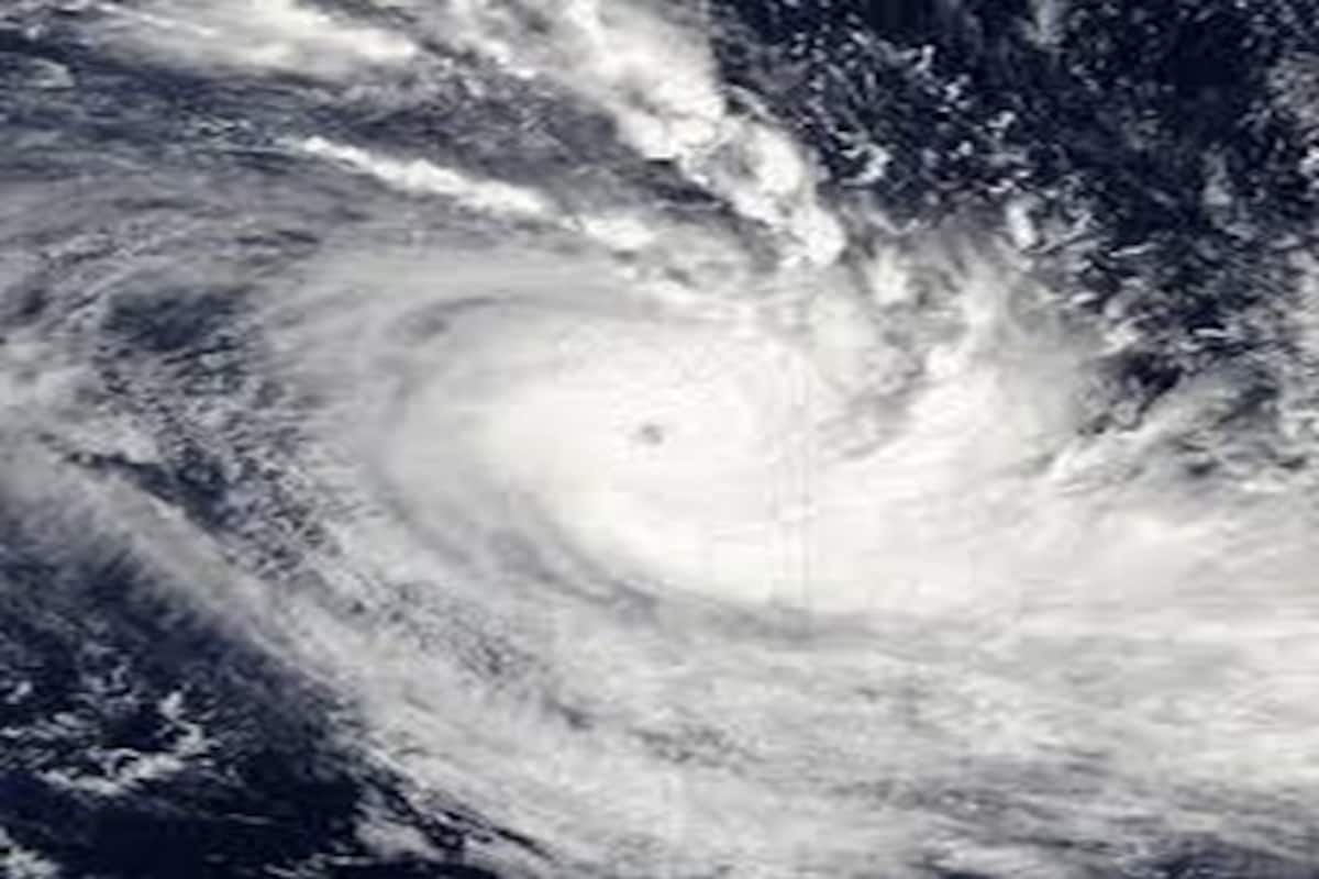
Cyclone Jawad Weakens: Odisha Gets Relief Signal Followed By SRC Updates

Bhubaneswar: The cyclonic storm Jawad is likely to reach near Puri coast as deep depression by December 5 afternoon and thereafter, will weaken further. By the time the system reaches Puri coast the wind speed would decrease to 60-70 kmph stated Special Relief Commissioner (SRC) Pradeep Jena on Saturday.
Briefing the media in Bhubaneswar, the SRC said, “As per the India Meteorological Department (IMD), the cyclonic storm ‘JAWAD’ lay centered at 210 km from south-southeast of Visakhapatnam (Andhra Pradesh), 320 km from south-southeast of Gopalpur, 390 km from south-southwest of Puri and 470 km from south-southwest of Paradip while it is moving with a speed of six kilometres per hour.”
“It is likely to re-curve north-northeastwards and move along Odisha coast reaching near Puri around December 5 noon. By the time it reaches Puri coast, it would have weakened from a cyclonic storm to deep depression. The wind speed during the landfall would decrease to 60-70 kmph unlike IMD’s initial prediction which projected the wind speed to be around 100 kmph,” said the SRC.
“Subsequently, it is likely to continue to move north-northeastwards along coastal Odisha towards West Bengal coast,” added the SRC.
“Odisha has been receiving light to moderate rainfall since yesterday evening while Ganjam, Puri, Jagatsinghpur and Khordha districts are likely to witness heavy rainfall. Cuttack and Bhubaneswar are likely to receive maximum rainfall of 200 mm today,” informed Jena.
Latest Updates shared by SRC:
- Wind speed is likely to remain between 60-70 kmph when cyclone Jawad reaches the coast of Puri in the noon of Dec 5.
- Cyclone Jawad, if makes landfall, will touch the coast as deep depression.
- Ganjam, Puri, Jagatsinghpur and Khordha districts likely to receive heavy rainfall today.
- Cuttack and Bhubaneswar are expected to receive 200 mm rainfall in 24 hours.
- Incessant rains likely to damage vegetables and standing paddy crop in coastal areas of Odisha.
- Infrastructure is less likely to be damaged as the wind speed will be less than the earlier prediction.
- The cyclone will cross Odisha coast by the evening of December 5. By night the effect would diminish.
- As the wind speed would decrease, evacuation will not be required. However, keeping rainfall in mind, evacuation might be carried out in some low lying areas.
- Tidal waves reaching up to 4-5 metres above astronomical tide are expected.
- The tide will rise by only one and a half feet to two feet, clarified the IMD. The tides will be half a meter higher than normal.
- Around 1,500 people have been evacuated. Around 300 pregnant women have been relocated to hospitals and safe places in Ganjam, Puri and Kendrapara districts.
- Teams of ODRAF, Fire Services and NDRF have been deployed. The district administration is urging people to leave their homes.
- Though the wind speed will hover between 60 to 70 kmph, small trees and electric poles might be uprooted and damaged. Therefore, people of those regions are requested to not leave house during the wind and shift to nearby pucca houses, schools and Anganwadi centres.
- Crop damage assessment will be carried out within 7 days on priority basis and then other damages will be assessed.


